
June 22nd, 2026 | Unifor-Ford contract talks begin; TomTom's Locarno Ajayi on AI mapping
About this episode
Unifor’s contract talks with Ford kick off in Toronto, with Ford aiming to restart Super Duty production in Canada and the union weighing how that posture compares with GM and Stellantis. The show then pivots to Toyota’s redesigned All Hybrid 2026 RAV4 ramp in Georgetown, Kentucky. Later, TomTom’s team discusses AI-powered, lane-level mapping—updating every few seconds—and how Orbis complements vehicle sensors for traffic, closures, hazards, and situations sensors can’t see.
Unifor and Ford kick off contract talks in Toronto today, the first of three negotiations with the Detroit 3 automakers this summer. Toyota’s RAV4 finds a new home in Kentucky. Plus, TomTom’s Senior Vice President Manuela Locarno Ajayi explains how artificial intelligence is delivering real-time, lane-level mapping and why it matters for the future of autonomous driving.
sensor data
"Our Orbis maps provide a complementarity to the sensor data that the vehicle can capture and allow for a much degree of confidence in the ability to respond to certain events around the car."
“Sensor data” is what the car’s cameras and other detectors “see” and measure around it. The episode says maps can work alongside that sensor information to help the car react more reliably.
“Sensor data” is the information collected by a vehicle’s onboard sensors (like cameras, radar, or lidar) to understand the car’s surroundings. In the segment, the speaker contrasts these real-time sensor inputs with high-definition map data to improve confidence in how the vehicle should respond to events near the car.
Orbis maps
"Our Orbis maps provide a complementarity to the sensor data that the vehicle can capture and allow for a much degree of confidence in the ability to respond to certain events around the car."
Orbis maps are a type of detailed digital map. The host explains they’re meant to work together with what the car’s sensors detect to help the car respond more confidently.
Orbis maps are a specific mapping product referenced in the segment, positioned as a complement to what the vehicle’s sensors detect. The idea is that combining detailed map context with sensor inputs can improve the system’s confidence when reacting to situations around the car.

2026 RAV4
"Toyota's hottest vehicle just got a new production home. The redesigned All Hybrid 2026 RAV4 is now rolling off the line in Georgetown, Kentucky."
The Toyota RAV4 is a popular compact SUV. In this episode, they say the redesigned 2026 hybrid version is starting production in the U.S., which can influence how fast dealers can get enough cars.
The Toyota RAV4 is Toyota’s compact SUV, and this segment specifically calls out the redesigned 2026 RAV4 hybrid. The key detail here is that it’s the first US production of the model, with production starting in Georgetown, Kentucky, which matters because it affects how quickly supply can catch up to demand.
Georgetown, Kentucky
"The redesigned All Hybrid 2026 RAV4 is now rolling off the line in Georgetown, Kentucky."
Georgetown, Kentucky is a place in the U.S. where cars are built. Starting RAV4 production there can help determine how quickly cars reach dealers.
Georgetown, Kentucky is a U.S. manufacturing location where Toyota builds vehicles. When a model like the Toyota RAV4 starts production there, it can change regional supply timing and dealer availability.
FNI revenue
"[163.2s] not just star performers, is the key to growing revenue. Automotive news's 2026 list of the top [170.6s] 100 dealership groups ranked by FNI revenue shows some groups posting gains of more than 80% year"
FNI revenue is the money a car dealership makes from financing and insurance, not just from selling the car itself. It can include things like loans/leases and coverage you buy with the vehicle.
FNI revenue is dealership income tied to Finance, New vehicle sales, and Insurance products. In practice, it includes profit from things like auto loans/leases and add-on insurance sold alongside the vehicle.
bargaining table
"[223.7s] what's the scene like there so far? We're relatively busy morning here. We had the official handshake [228.1s] a few minutes ago. So, you know, things are underway, bargaining is going to happen, [231.8s] and we'll see where things are, you know, in seven or 10 days time when radio silence gets broken."
In labor negotiations, the “bargaining table” is the formal negotiation process where a union and an employer discuss terms like wages, benefits, and job protections. It’s a shorthand for the structured talks that follow the initial meeting/handshake.
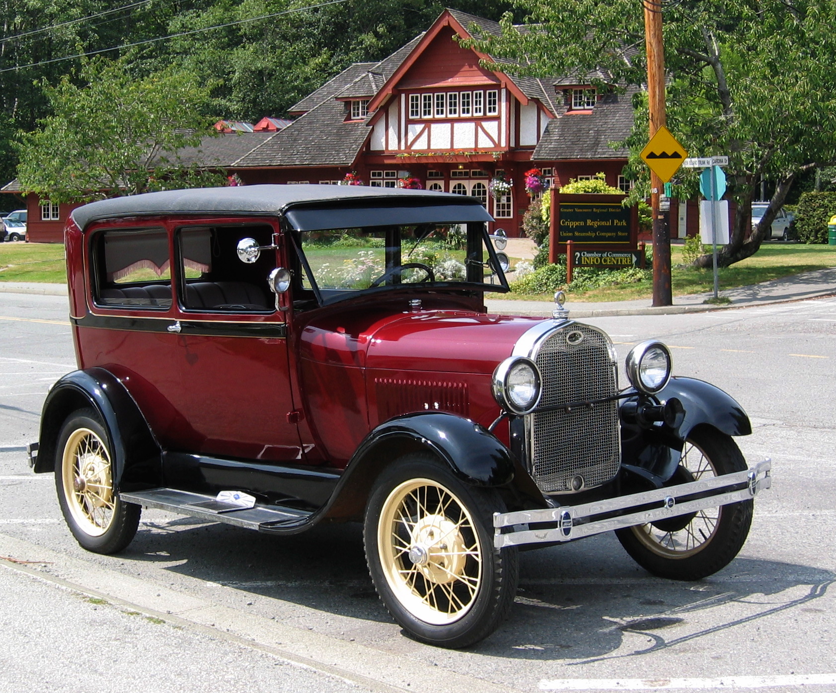
super duty pickups
"[259.3s] and Ford hasn't built anything in Canada for a couple years. They're going to [264.1s] gear back up, build some super duty pickups. And what it comes down to it, that's probably the [268.4s] leverage that we'll see from the union, you know, Ford wants to start building those pickups."
“Super Duty” is Ford’s heavy-duty truck line—built for tougher jobs like towing and hauling. Saying they’ll build Super Duty pickups means Ford plans to ramp up production of those work trucks.
“Super Duty” is Ford’s name for its heavy-duty pickup truck line, positioned for towing and work use. When the host says Ford will “gear back up” to build Super Duty pickups, they’re referring to ramping production of that heavy-duty truck family.
lane level
"So we built Orbis as an AI native platform that brings mapping capabilities at a global scale, accurate, precise, with the ability to provide information and details not just at the road level, but also at the lane level to enable these assisted driving use cases."
“Lane level” means the map knows which lane you’re in and what’s happening in each lane. That helps driver-assist systems guide you more precisely than just “turn left at the road.”
“Lane level” mapping means the map data isn’t just describing roads in general—it identifies which specific lane a vehicle should be in. That enables features like lane guidance and lane-aware assisted driving behavior.
real-time information
"And we're building in a way that brings freshness and real-time information, which is very much critical in more specific critical use cases... It's not just about the attributes of the road geometry. It's about having real-time information about traffic situation, road closures, hazards on the road."
“Real-time information” means the map updates as conditions change—like traffic, closures, or hazards. Instead of using an old snapshot, the car can react to what’s happening right now.
“Real-time information” in mapping refers to continuously updated data such as traffic conditions, road closures, and hazards. The point is to keep the vehicle’s decision-making current rather than relying on static or slowly refreshed map data.
real-time mapping
"So you talked a lot about real-time maps... What does that actually mean in practice?... Yeah, well we have elements of our map that update every few seconds. So it's the ability for us to have a platform that can update as frequently as needed and then of course it's the ability of the mobility system to ingest that real-time information as frequently as they're capable of."
“Real-time mapping” means the map isn’t fixed; it can refresh very often. For the driver, that translates to guidance that better matches what’s happening on the road right now.
“Real-time mapping” is the idea that map elements can be updated extremely frequently—down to seconds—so the navigation and driver-assistance stack can use fresh data. In practice, it requires both frequent map updates and the vehicle’s mobility system to ingest that data quickly.
AI inference on edge
"So we also are discussing of course the ability to bring the AI inference on edge in the vehicle. You've heard also today Tom Tom discovered how we said that the ability to react quickly to use cases on the road that"
“AI inference on edge” means the car does the AI thinking locally instead of relying on a remote computer. That can make responses quicker when something changes on the road.
“AI inference on edge” means running the AI’s decision-making computations inside the vehicle (or at the network edge) rather than sending everything to a distant cloud. This can reduce latency, letting the car react faster to road situations.
high definition maps
"So something I really wanted to ask you there's a debate in the AV industry the autonomous vehicle industry about whether high definition maps are essential."
High definition maps are very detailed digital maps used for self-driving cars. They can include things like lane layout and where features are, which helps the car understand the road even when cameras or sensors struggle.
High definition maps (HD maps) are extremely detailed digital maps used in autonomous driving. They typically include lane geometry, lane-level attributes, and other static or semi-static features that sensors alone may not reliably infer in every situation.
perception first
"Others say perception first since systems with the sensors can scale faster and that the autonomous systems should understand roads directly from the cameras and the sensors."
“Perception first” means the car should mainly figure things out from what its sensors see right now. Instead of depending on detailed maps, it tries to understand the road directly in real time.
“Perception first” is an autonomous-driving philosophy that emphasizes using the vehicle’s sensors (cameras, radar, lidar, etc.) to understand the road and driving environment directly. The idea is that the system should scale by interpreting what it sees in real time, rather than relying heavily on pre-built map data.
real-time perception
"You need to have real-time perception of the vehicle for autonomous driving to be a possibility but you also want the system to have knowledge about what the road and the environment around the car looks like."
Real-time perception is how the self-driving system keeps “seeing” and understanding what’s around the car, all the time. It needs to be fast so the car can react right away.
Real-time perception is the autonomous system’s ability to interpret the vehicle’s surroundings continuously as conditions change. It’s essential because the car must react immediately to moving objects, changing traffic, and sudden hazards.
balance
"So our take it's ultimately it's about balance right. You need to have real-time perception of the vehicle... but you also want the system to have knowledge about what the road and the environment around the car looks like."
In this context, “balance” refers to combining sensor-based perception with map-based knowledge rather than choosing one approach exclusively. The speaker argues that safety-critical scenarios benefit from using maps as a complement to the vehicle’s perception.
edge situations
"in particular those very edge situations where the map as a complement to the system is required for safety and consistency"
“Edge situations” are rare or difficult driving scenarios where normal sensor behavior and typical driving assumptions may break down. In these cases, map data can act as a safety-and-consistency complement to sensor-based perception.
crutch
"we truly believe a map shouldn't be looked as a crutch for the autonomous system but really very much as a complement to the overall platform that the AV are built on."
They’re saying maps shouldn’t be used as a fallback that replaces the car’s own sensing. Instead, maps should work alongside the sensors to help the system make better decisions.
Calling a map a “crutch” is a metaphor for relying on it as a substitute for the autonomous system’s core sensing and decision-making. The speaker’s point is that maps should complement the platform, not replace the vehicle’s ability to perceive and act.
obstruction
"Well you have very simple situations where there is an obstruction. The vehicle sensors just are not able to see because maybe there is a large tracks in front of them or maybe because there is just weather situations that obfuscate the sensors"
An “obstruction” is something that blocks the car’s view—like a barrier or something in the way. The point is that maps can still provide useful context when sensors can’t see clearly.
In autonomous driving, an “obstruction” is something in the environment that blocks or prevents sensors from seeing the relevant area. The speaker uses it to argue that maps can supply information when sensors can’t detect what’s ahead due to physical barriers or visibility issues.
Orbis platform
"Our Orbis platform is ingesting tens of thousands of data sources it is a combination of probe data [943.4s] sensor derived observations data but also a variety of data sources that we acquire through"
Orbis is TomTom’s system for building detailed maps using lots of different data. It helps the car “know more” than its sensors alone can see.
TomTom’s Orbis platform is a mapping and data-processing system that combines multiple data sources to build high-confidence maps. The key idea is that it complements what a vehicle’s sensors can see by using historical and large-scale data to improve responses to situations the car can’t detect in real time.
probe data
"Our Orbis platform is ingesting tens of thousands of data sources it is a combination of probe data [943.4s] sensor derived observations data but also a variety of data sources"
Probe data is information gathered from cars while they’re driving. It helps the system learn what the road is like in the real world.
Probe data is location-and-sensor information collected from vehicles as they drive. It’s used to infer real-world conditions like road geometry, traffic patterns, and where obstacles or hazards tend to appear.
sensor derived observations data
"Our Orbis platform is ingesting tens of thousands of data sources it is a combination of probe data [943.4s] sensor derived observations data but also a variety of data sources that we acquire"
This is information the car’s sensors notice, then convert into something the navigation/mapping system can use. Think of it as sensor “findings” turned into data.
Sensor-derived observations data are measurements and detections produced by a vehicle’s sensors (like cameras or radar) and then turned into usable “observations.” These observations can describe things the vehicle can detect directly, such as obstacles or lane-relevant features.
Request an Explanation
Heard something you'd like explained? We'll add it to this episode.
Sign in to request explanations for terms you heard.
Want to learn more?
Browse our glossary for plain-English explanations of automotive terms, jargon, and concepts.
Help improve this episode
See something that's not quite right? Our annotations are AI-generated and can sometimes miss the mark. Click the flag icon on any annotation to suggest a correction.